Landslide Investigation
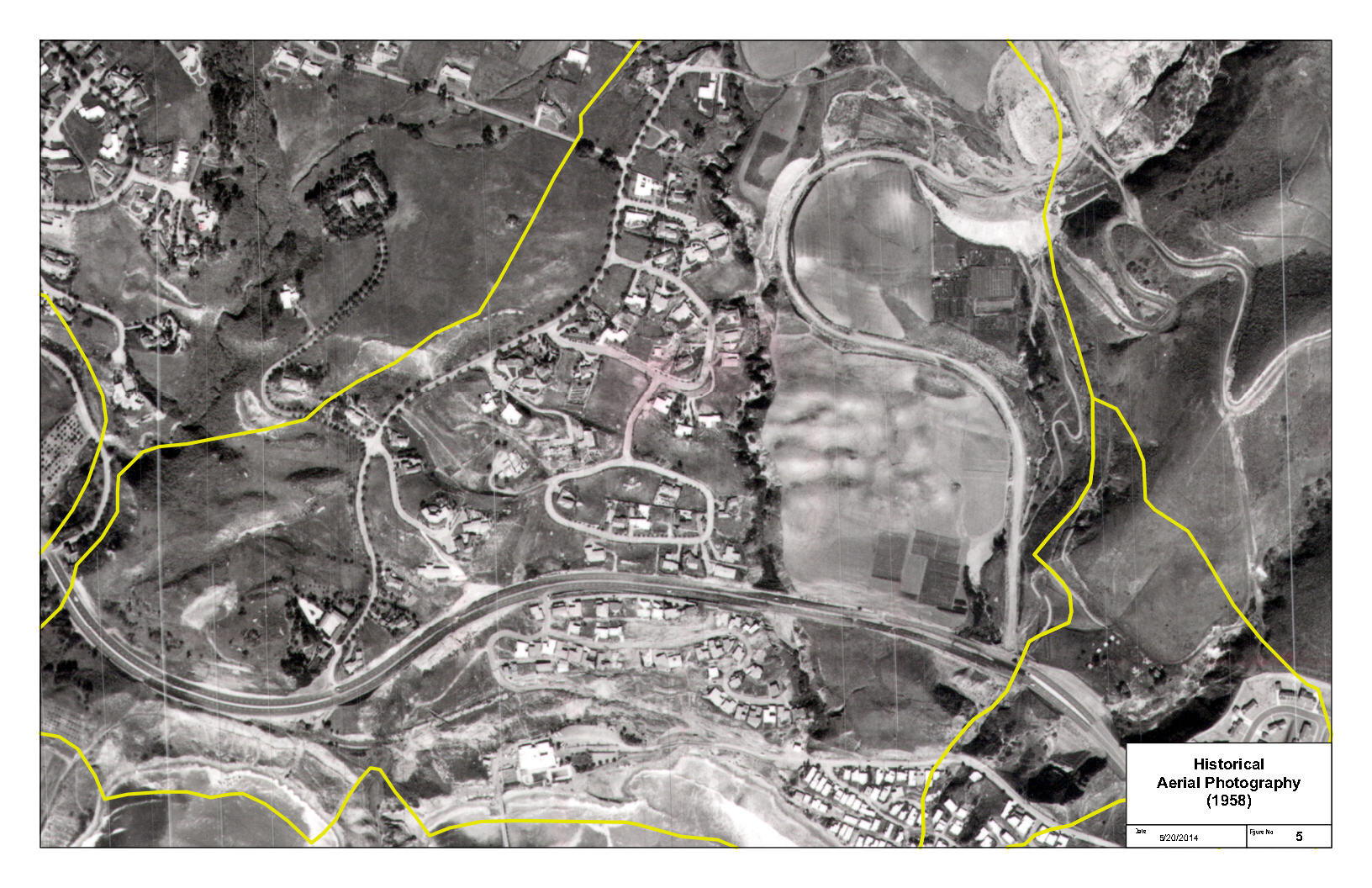
Background: Earth Forensics was hired by a geotechnical firm to conduct an historical analysis of an existing landslide for a potential development site in Rancho Palos Verde, CA.
The Study: The Portuguese Bend area has been known to have a history of landslides spanning 250,000 years. The most modern landslide movement occurred in 1956 and has been attributed to construction of a road and the placement of the fill. The Portuguese Bend landslide has continued to have active movement throughout the years. Earth Forensics scope of work included reviewing and acquiring historical aerial photos of the Portuguese Bend landslide in Rancho Palos Verde, California to analyze the historical movement of the slide. A 3D animation was prepared of the landslide showing the movement of roads and homes through time.
The Results: After the study was completed, it resulted in a mediation report.
(click on the image to expand)
Landslide evaluations involve:
- Hydrometeorologic services (PDF) - Hydrogeological evaluations - Review of topographic maps, stereoscopic aerial photography - Historical aerial photography/satellite imagery interpretation - Installation of groundwater monitoring wells - Record, literature and air photograph research - 3D Geologic modeling - Forensic investigation of post-development distress - 3D geological models of landslide and geology - Evaluation of geologic hazards - Drone photography - Expert opinion reports on causation of landslide/earth movement
For more information on how our team can help you, please contact us at: Phone: 714.296.4055 Email: contact@earthforensics.com


