Flooding Investigation
Background: Earth Forensics was hired by counsel on behalf of the insurance company. Multiple properties covered by the same insurance company were involved in the lawsuit. An individual property downgradient of the properties in question sued for damages from flooding during the September 8, 2014 storm in Thousand Palms, CA.
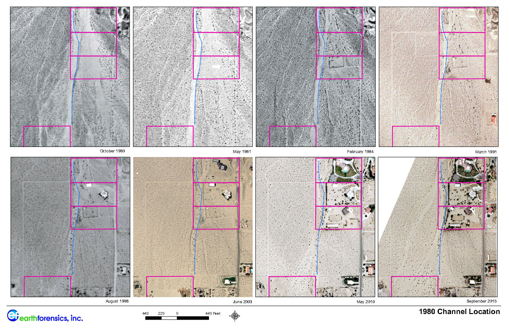
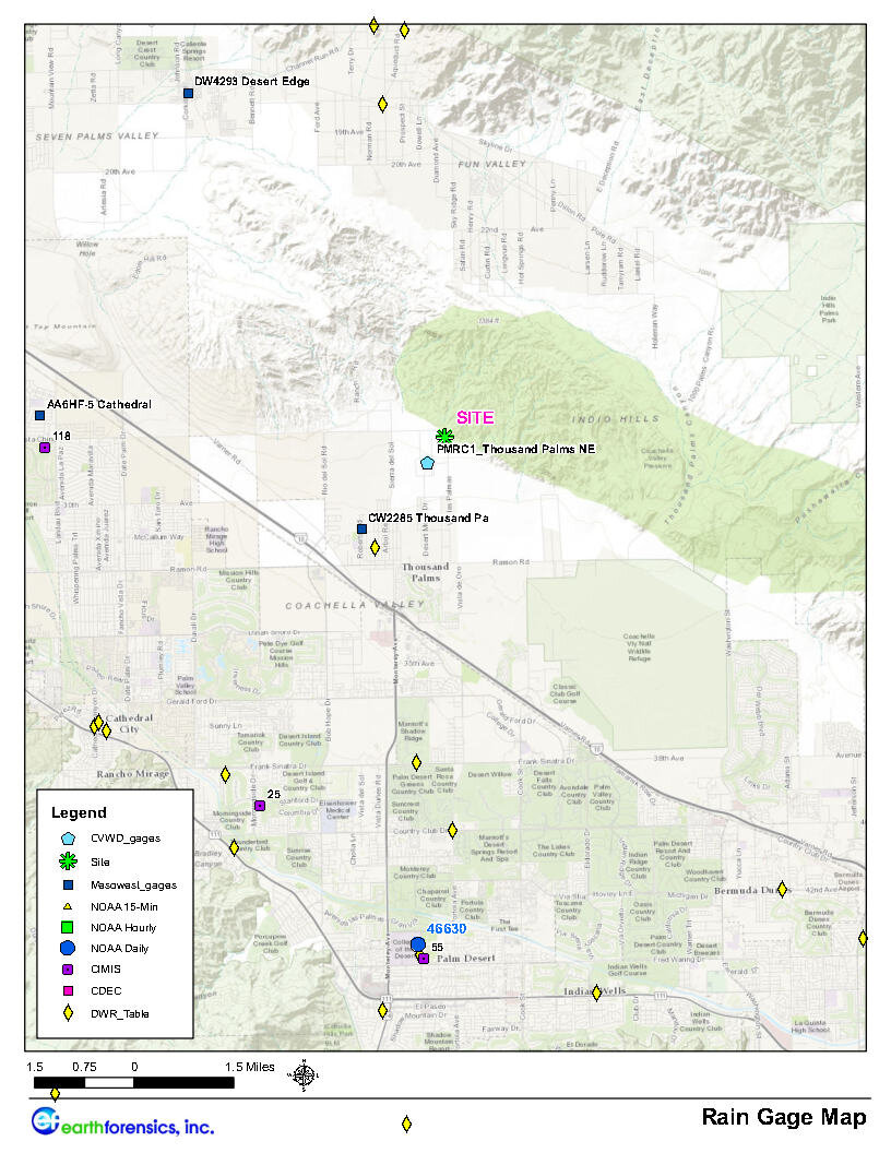
The Study: Earth forensics scope of work involved analyzing historical aerials, topography, watershed diversions, rainfall data, and RADAR data in the Thousand Palms area which caused significant flooding throughout Coachella Valley. In addition, Earth Forensics investigated the location of the site of interest with respect to alluvial fan development, historical flow paths and storm events.
Results: After the study was completed, the case settled out of court.
(click on image to expand)
For Flooding Investigations, Earth Forensics gathers hydrometeorologic data and performs statistical analysis in order to decipher causation of flooding events throughout the United States.
Flood Investigations include:
• Hydrometeorologic services
• Historical aerial photography/satellite imagery interpretation
• Record, literature and air photograph research
• 3D modeling of flood plain/event
• Flood hazard mapping
• Estimating potential flood losses using FEMA HAZUS MH
• Drone photography
• Dam inundation mapping
• Litigation support
For more information on how our team can help you, please contact us at:
Phone: 714.296.4055
Email: contact@earthforensics.com


