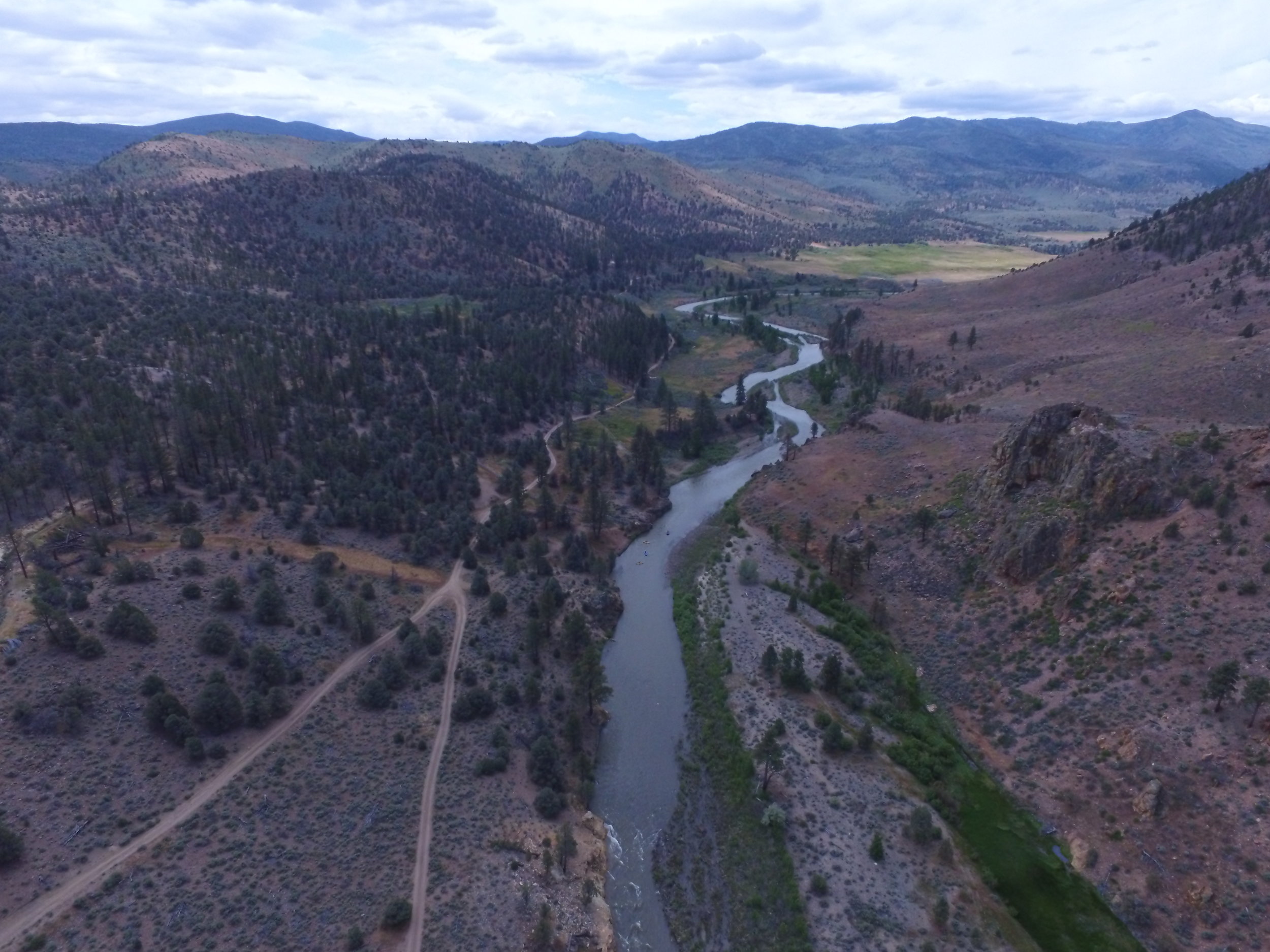
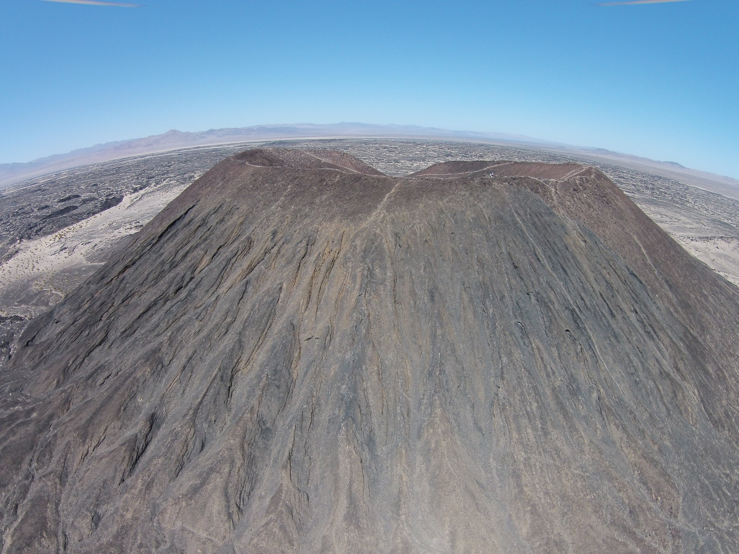
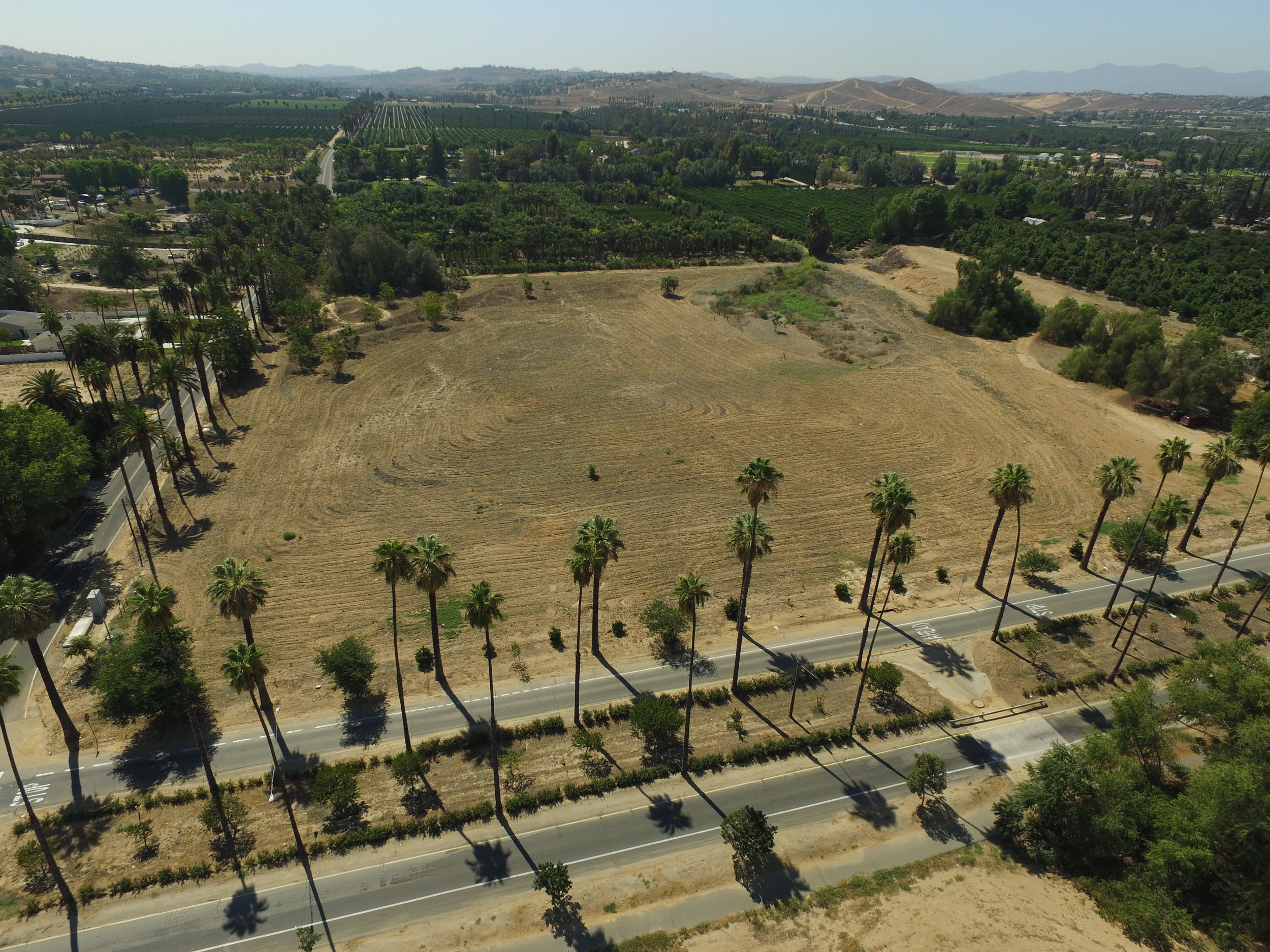
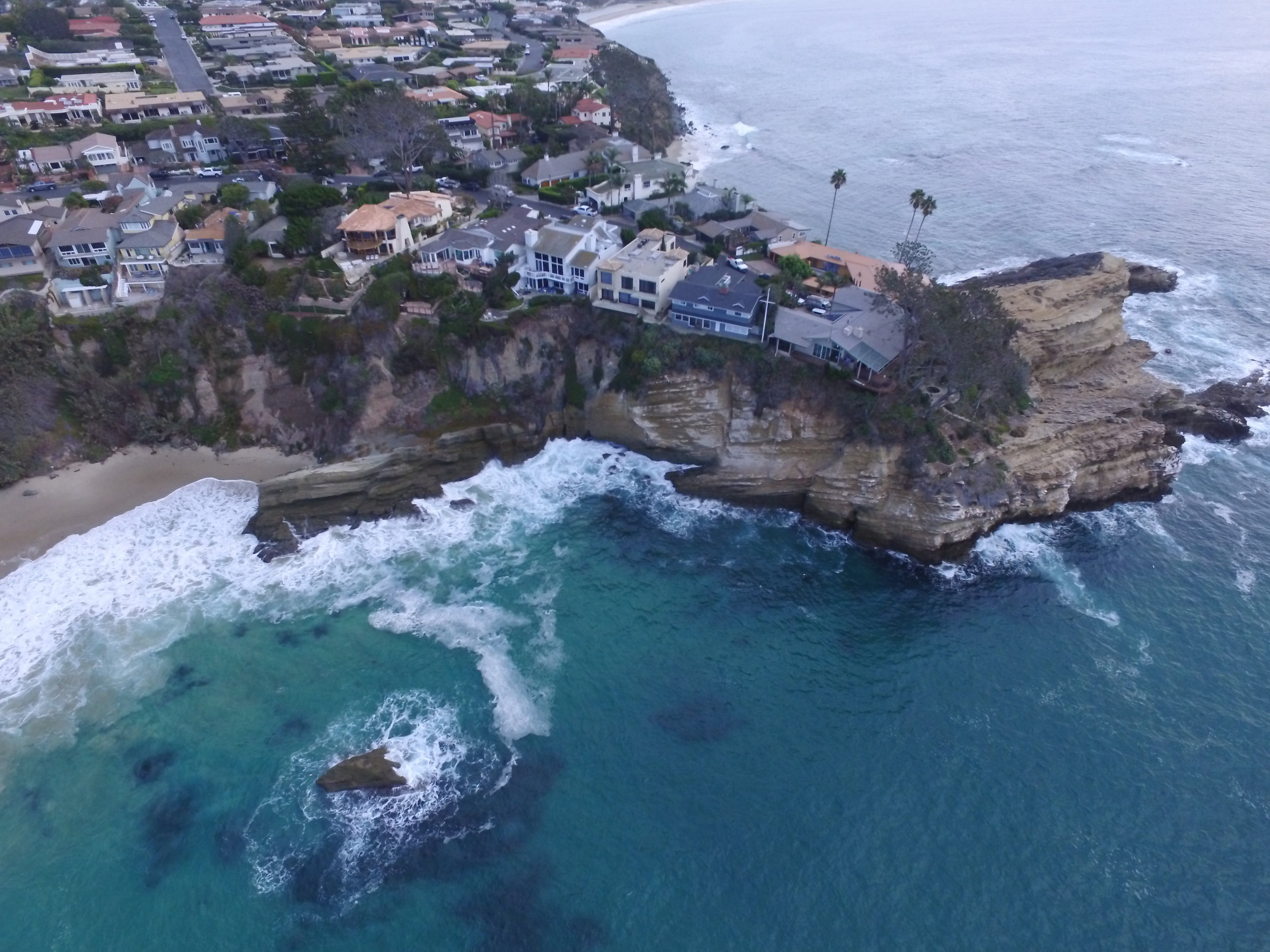
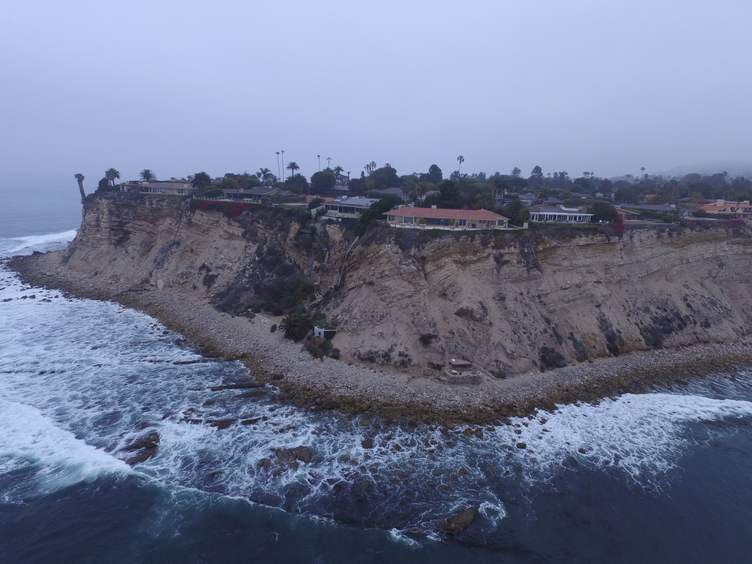
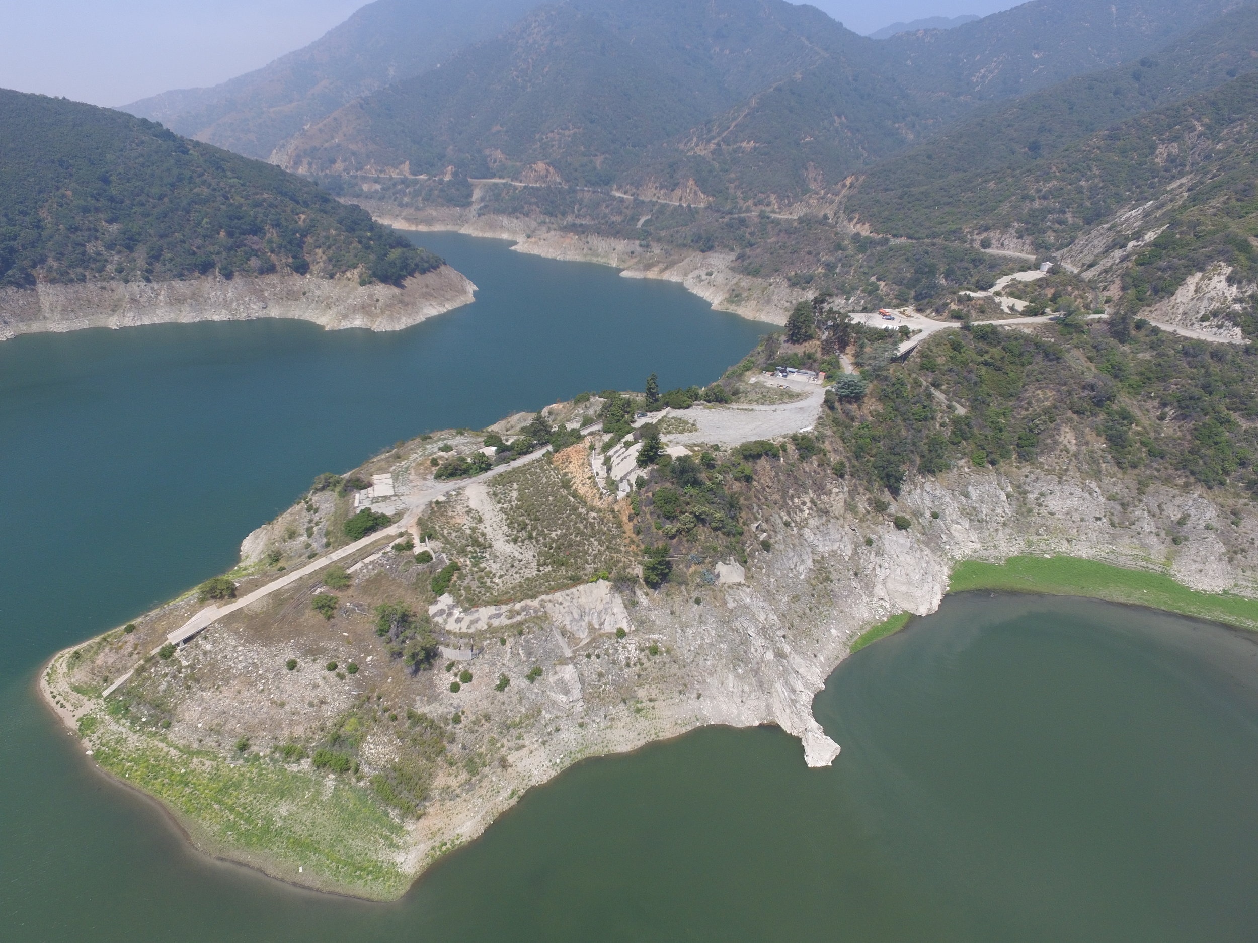
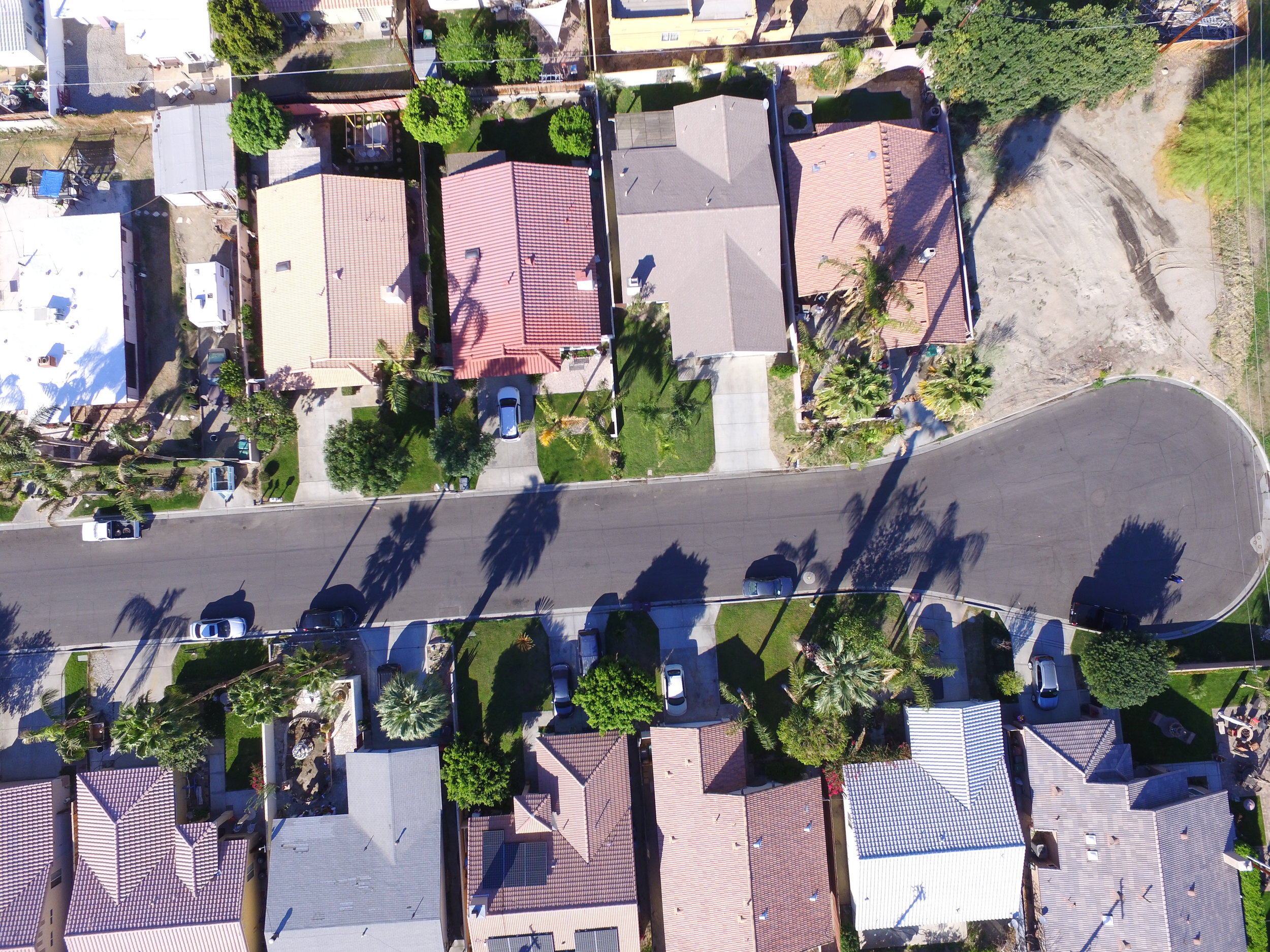
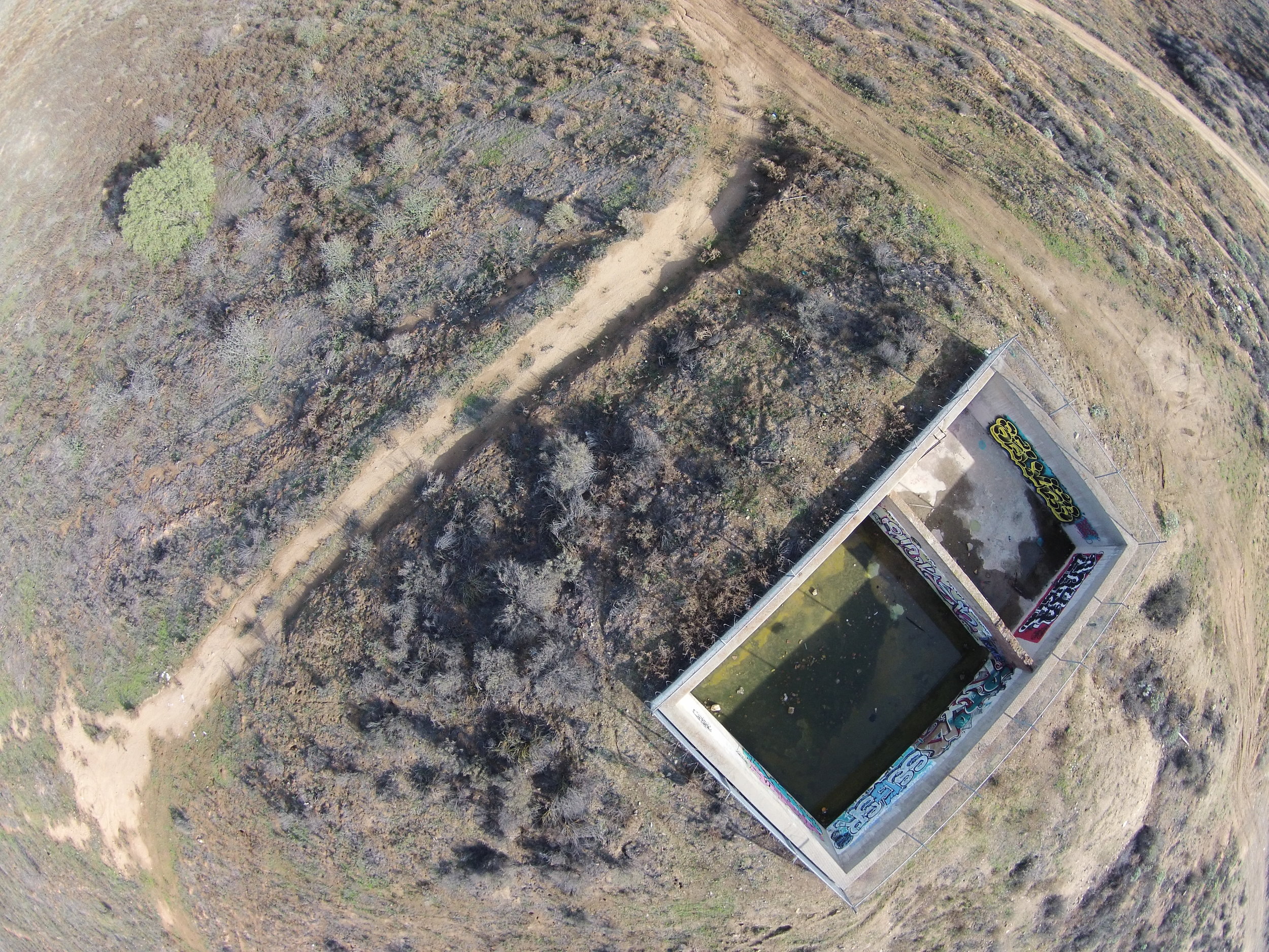
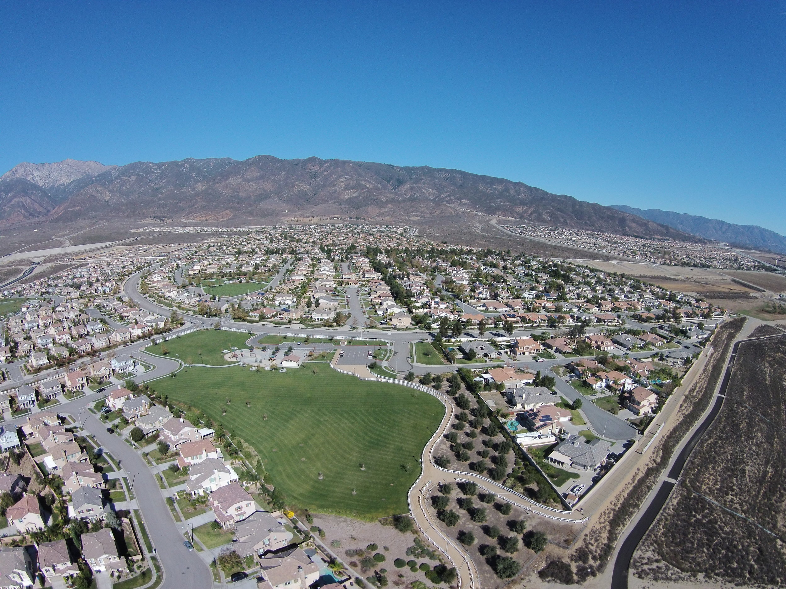
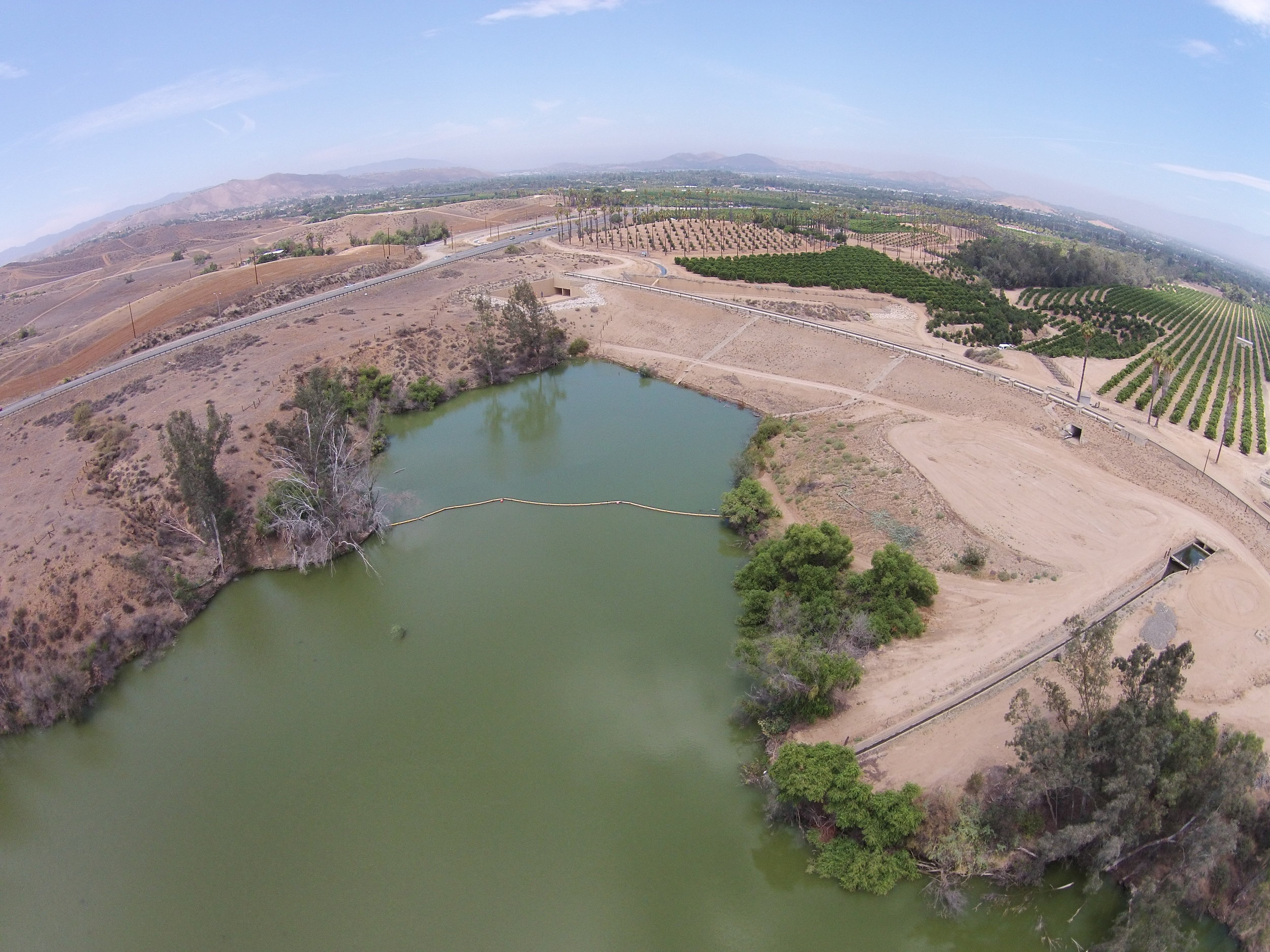
Earth Forensics provides custom low altitude aerial photography services for public works projects, commercial and residential development, public utilities, local governments, and the legal community. Earth Forensics, originally began using aerial blimps and monopods to acquire aerial photographs. Starting in 2013, Earth Forensics began deploying unmanned aerial vehicles (UAV) to acquire high resolution low altitude aerial photography. UAVs allow the acquisition of images in remote areas that are difficult to reach by land. In addition to performing photography, the Earth Forensics team also performs aerial photograph research, including the authentication of historic imagery.
Scroll down to get an overview of the services Earth Forensics can provide. For additional information click on the "Learn More" button to visit Earth Forensics' website dedicated to aerial photography services.
Applications/Uses
Landslide and Slope Stability Documentation
Commercial, Industrial and Residential Site Reconnaissance
Fault Delineation
Contamination Mapping
Construction Time Lapse Photography
Wetland Delineation and Mapping
Available Output Formats
GIS (georeferenced/orthorectified)
Stereo Photography
Near Infrared/Infrared Photography
Digital Photographs and Video.
Aerial Photography Services (PDF)
Images
Captured at a vertical and oblique angle