Heavy Rainfall in the month of December 2021

Earth Forensics has three live weather gages up and running since November and early December 2021. Take a look at all the rainfall we we’ve gotten so far this month at our three office locations*.

*The year to date record is based on when the weather gages were installed. In this case all three were installed in November and early December.

powered by Ambient Weather

powered by Ambient Weather

powered by Ambient Weather

Mapping with Drones

Did you know EARTH FORENSICS uses Unmanned Aerial Vehicles (UAV) to acquire high resolution data?

Earth Forensics uses drones to obtain high resolution low altitude aerial and thermal infrared photography. The aerial images are used to produce accurate high-resolution topographic maps and 3D photorealistic models. UAVs allow for the acquisition of data in remote or hazardous areas that are difficult to reach. This expedites the data acquisition needed for a particular project. Most recent, Earth Forensics has used drones to create maps to help monitor changes over time at a certain site. Here are some examples of current projects using UAV applications:

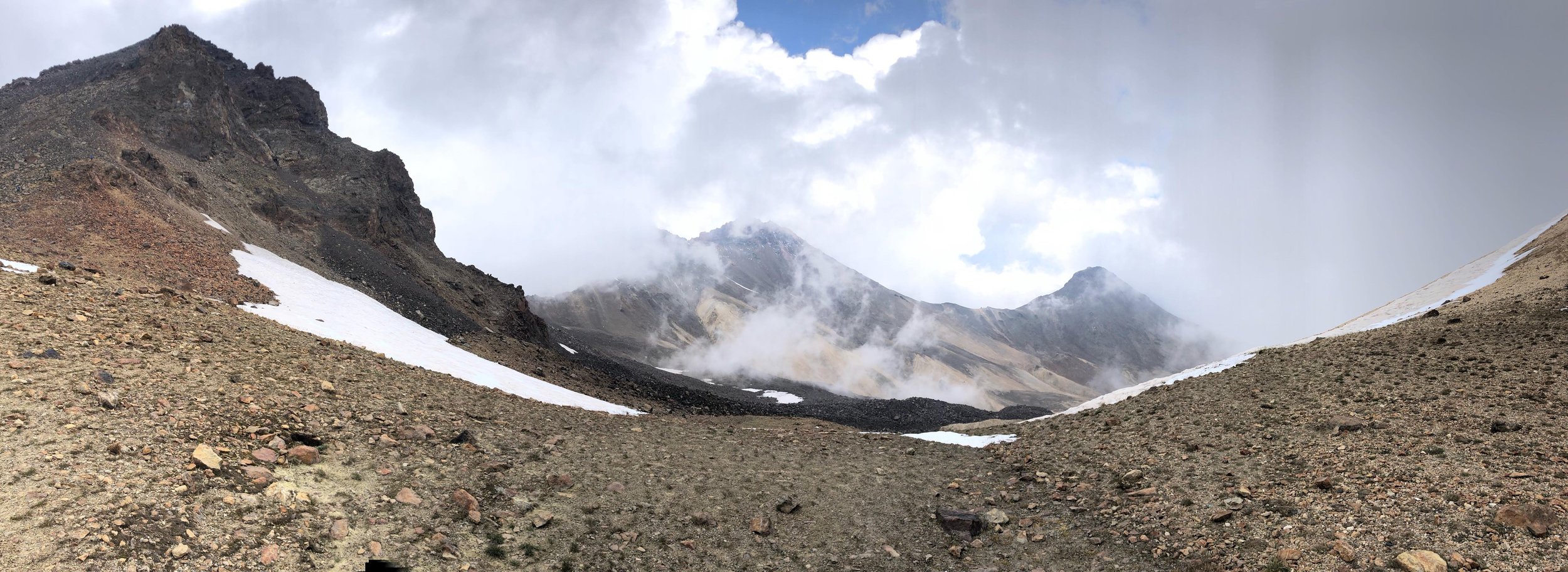
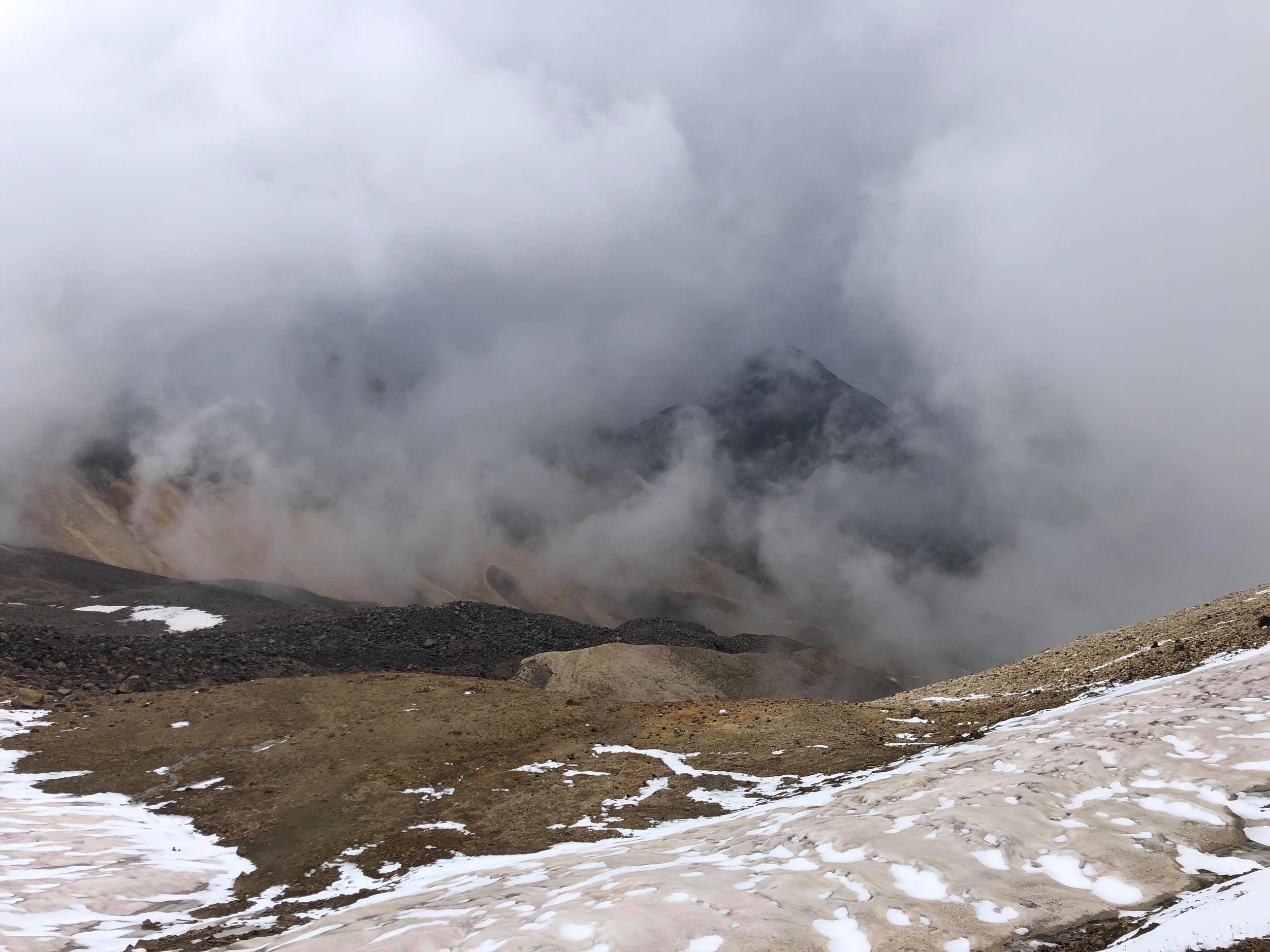
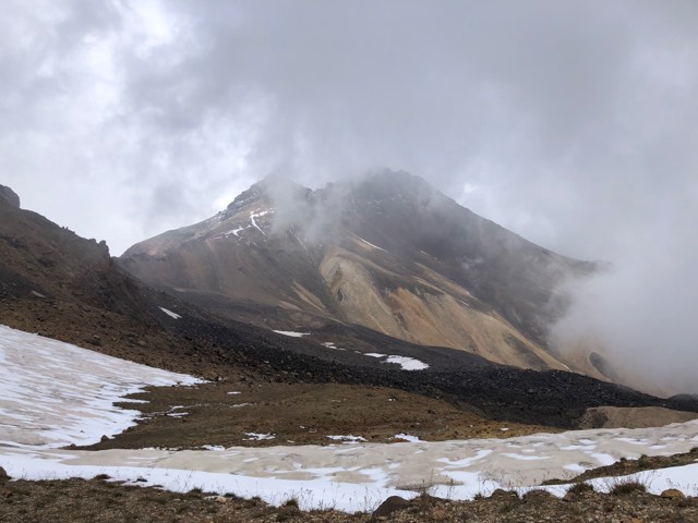
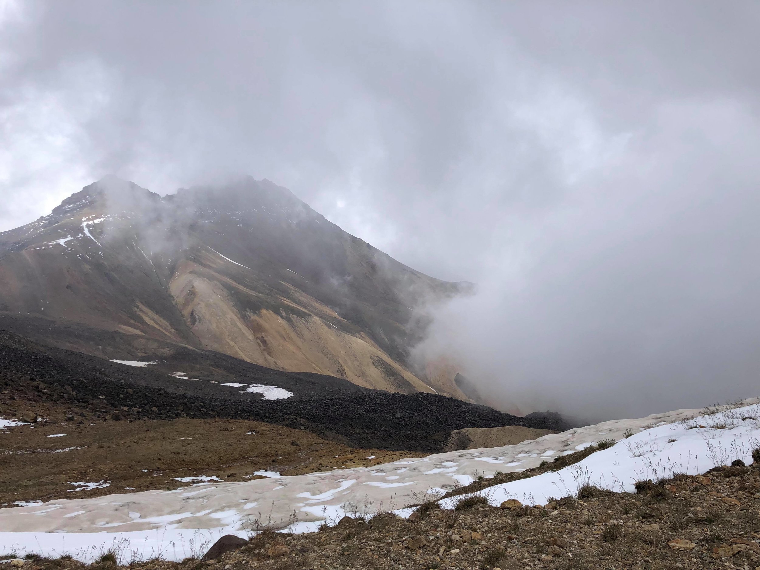
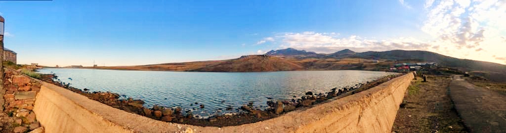
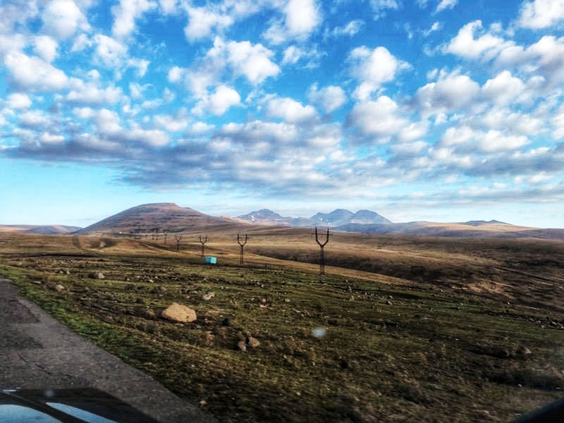
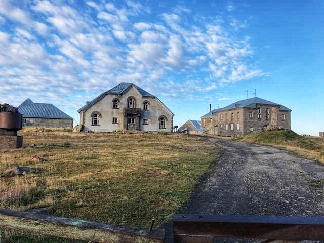
- Mount Aragats (Armenia)- High-resolution topographic mapping of potential archeological investigation

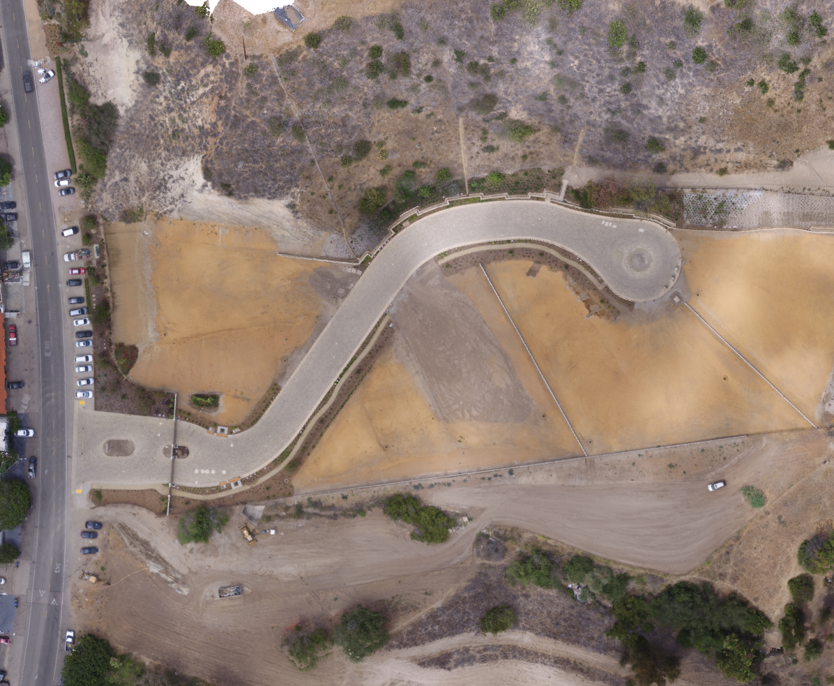
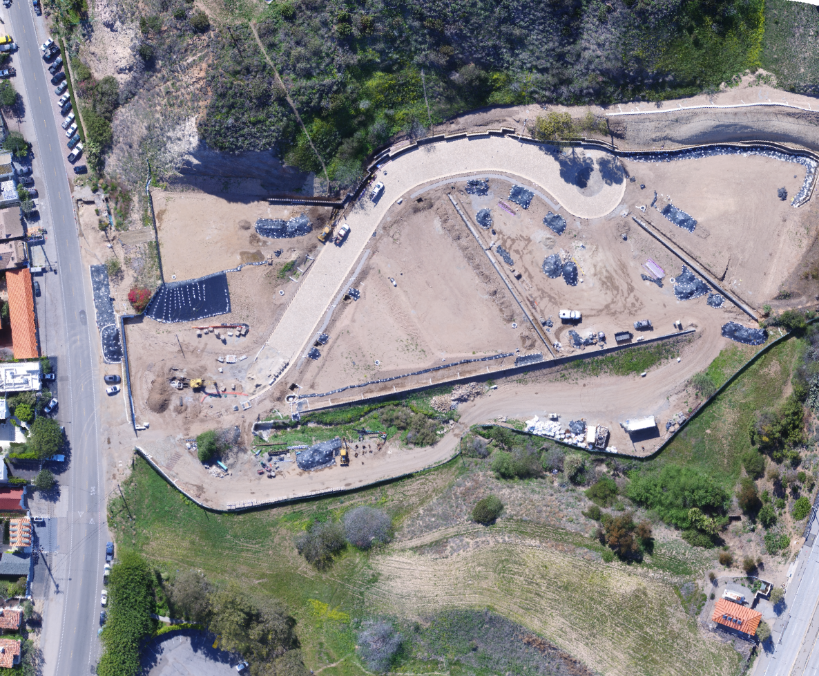
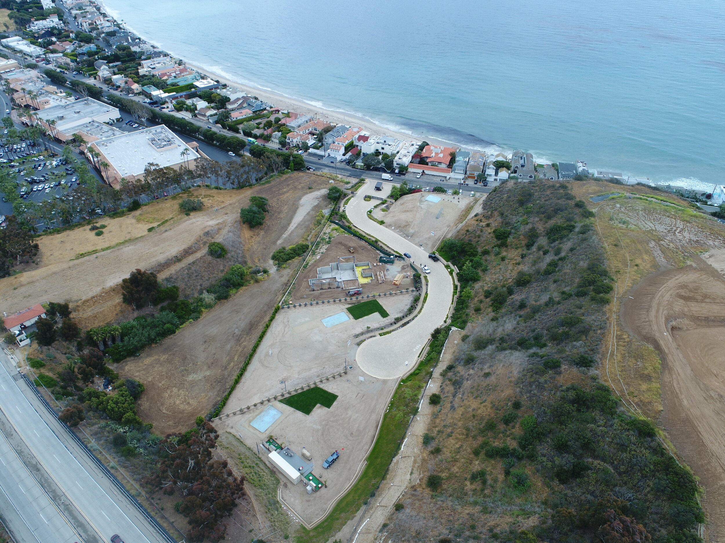
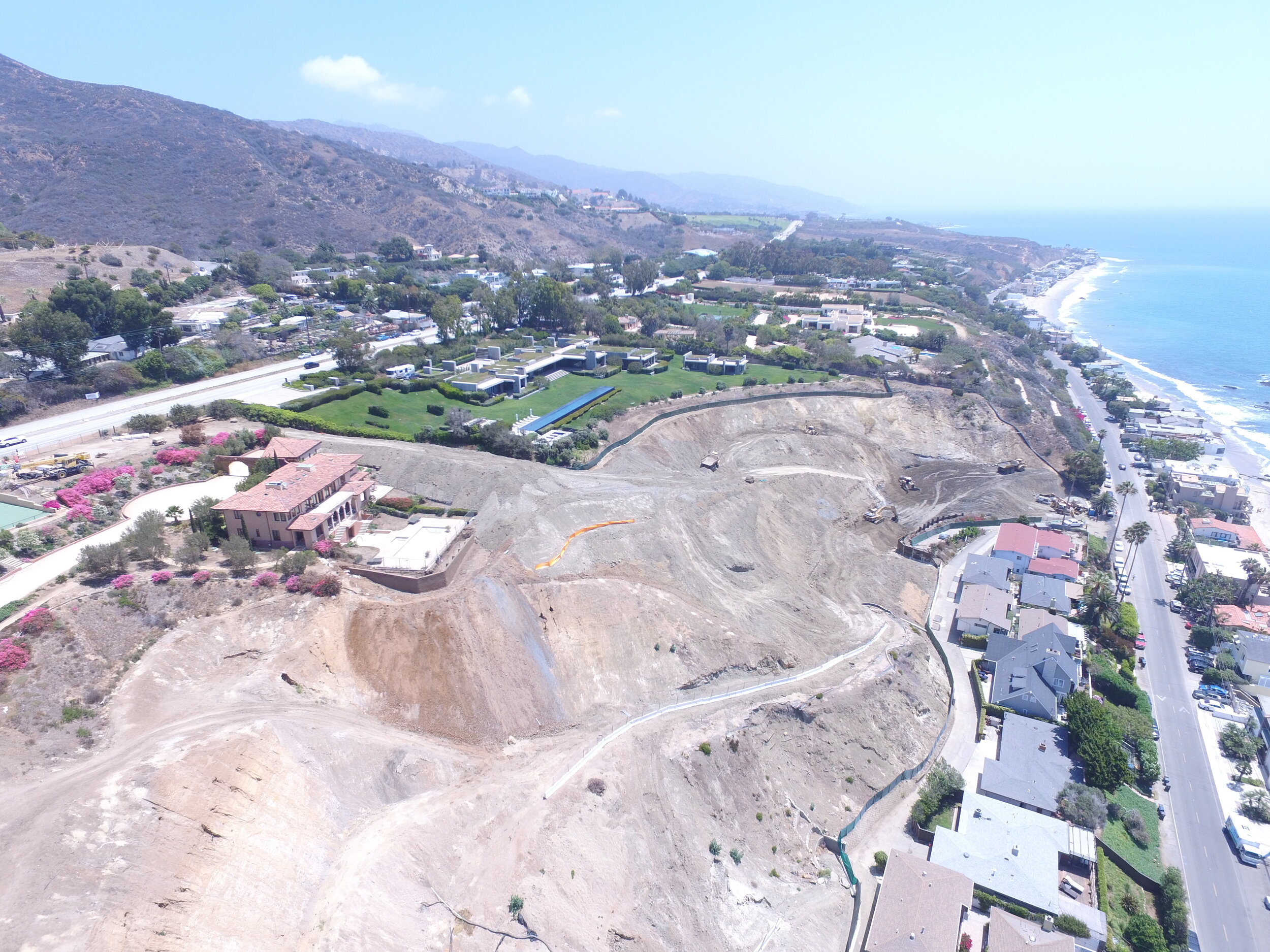
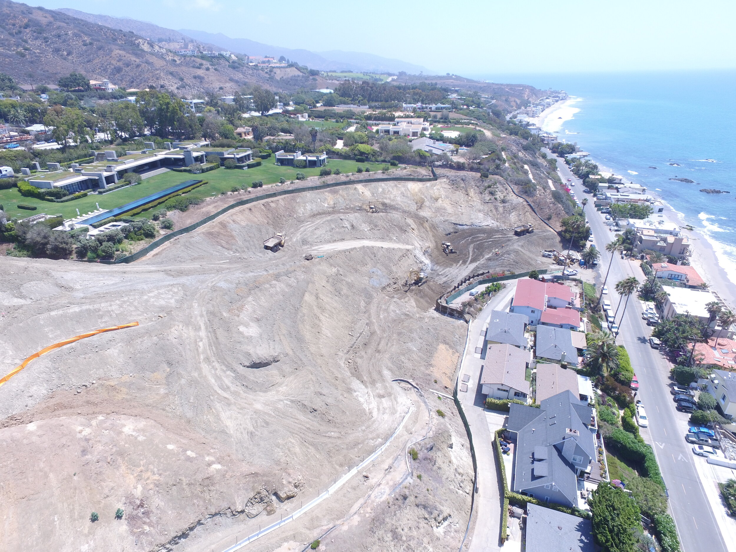
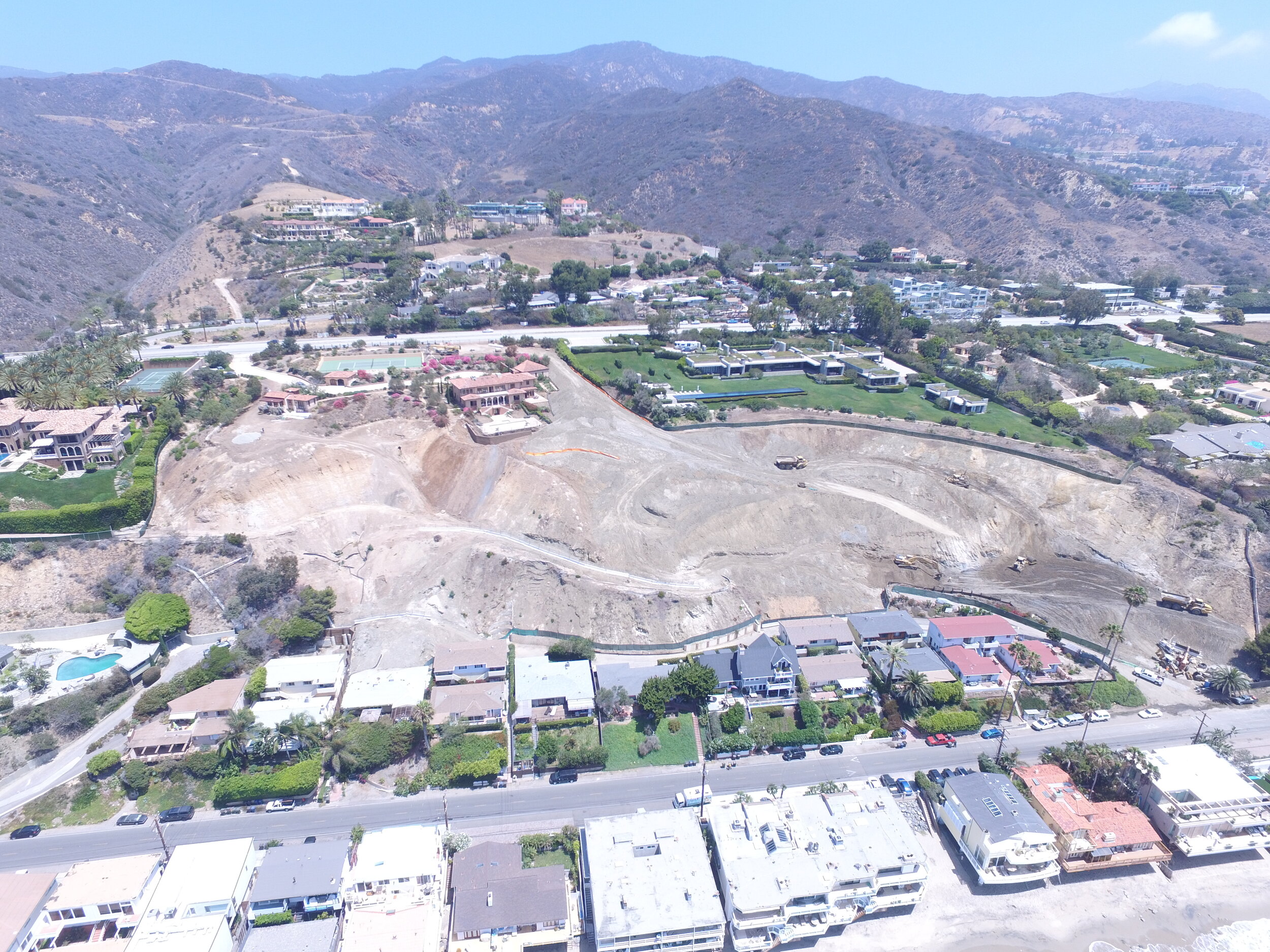
- Malibu, CA:  Progress monitoring of a residential development site in Malibu, CA.

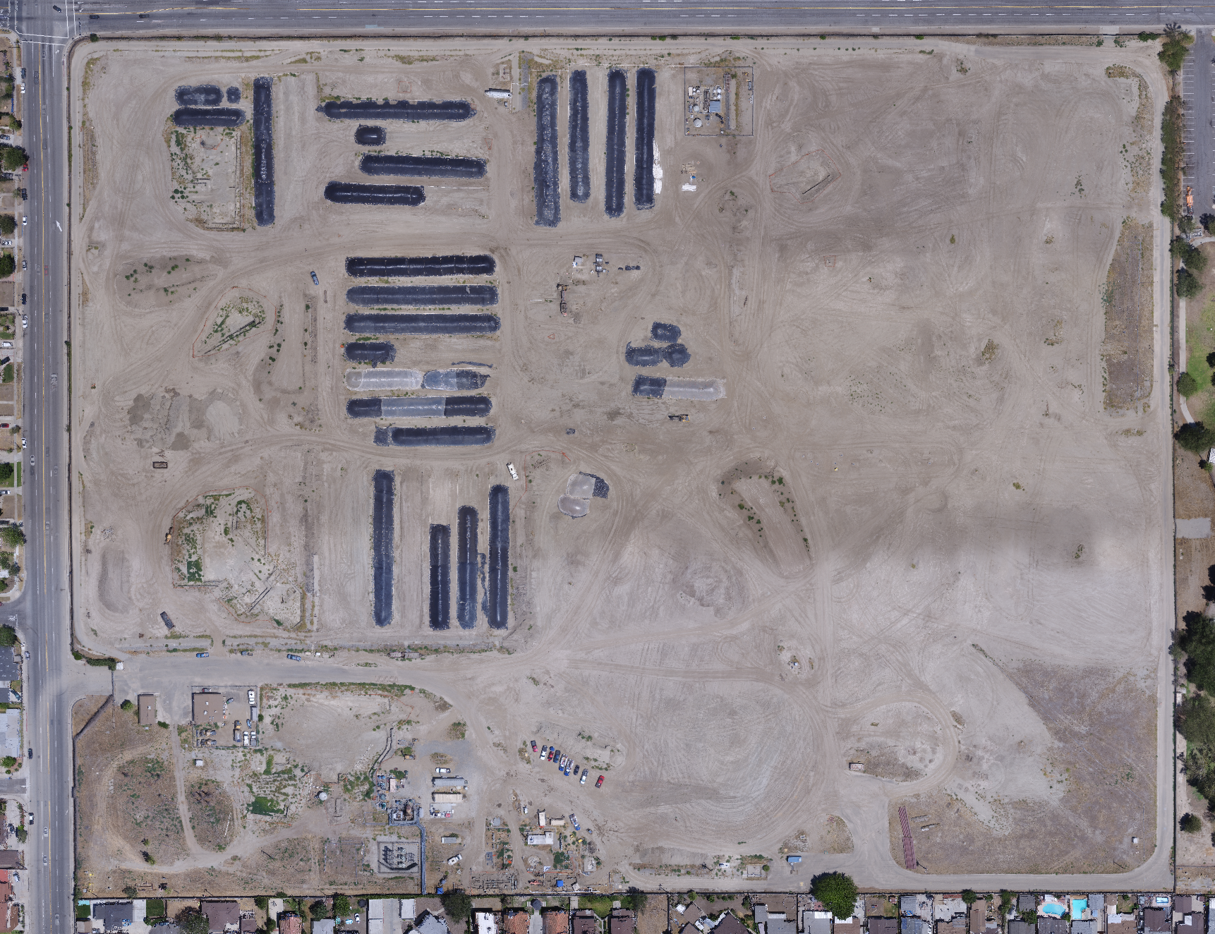
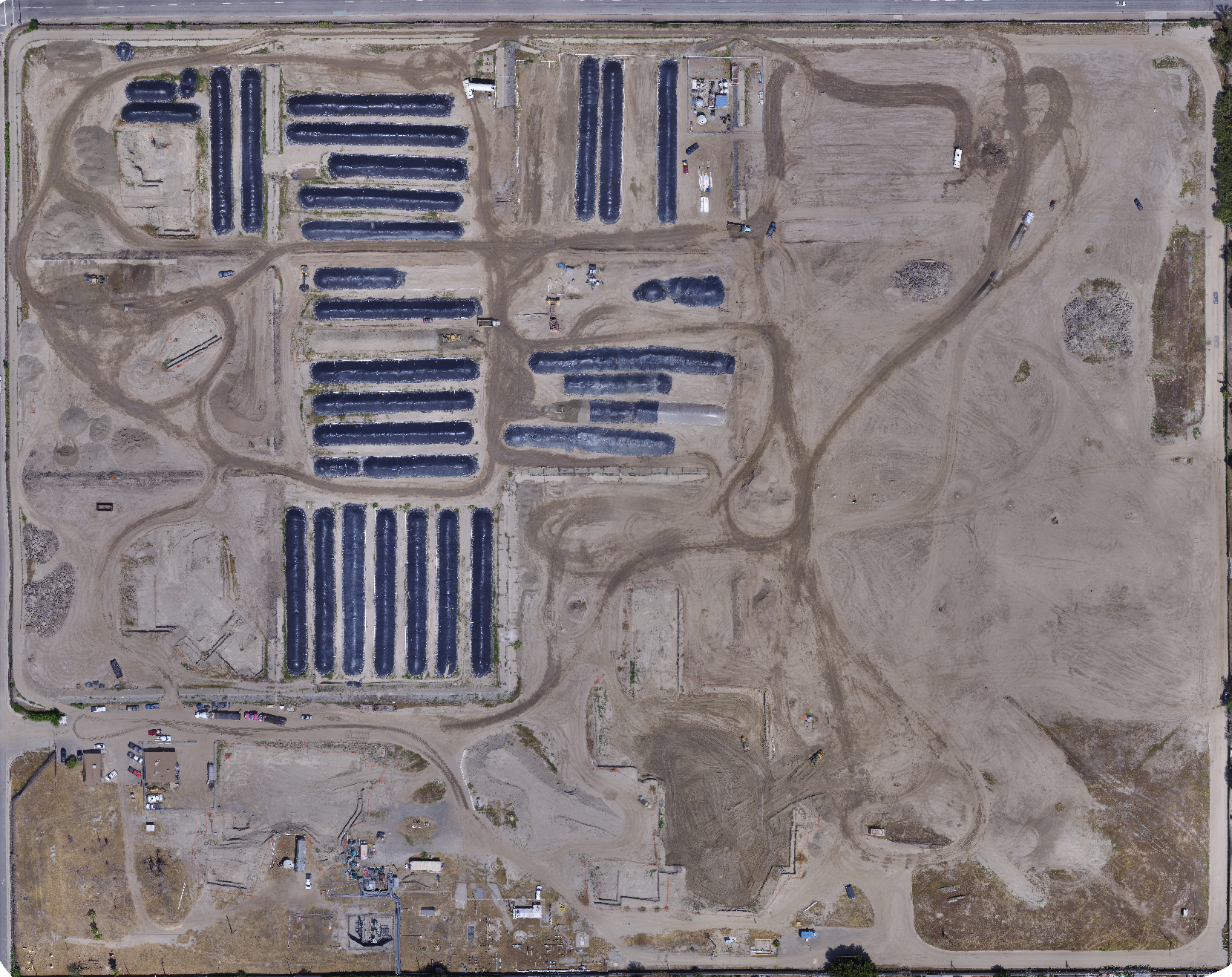
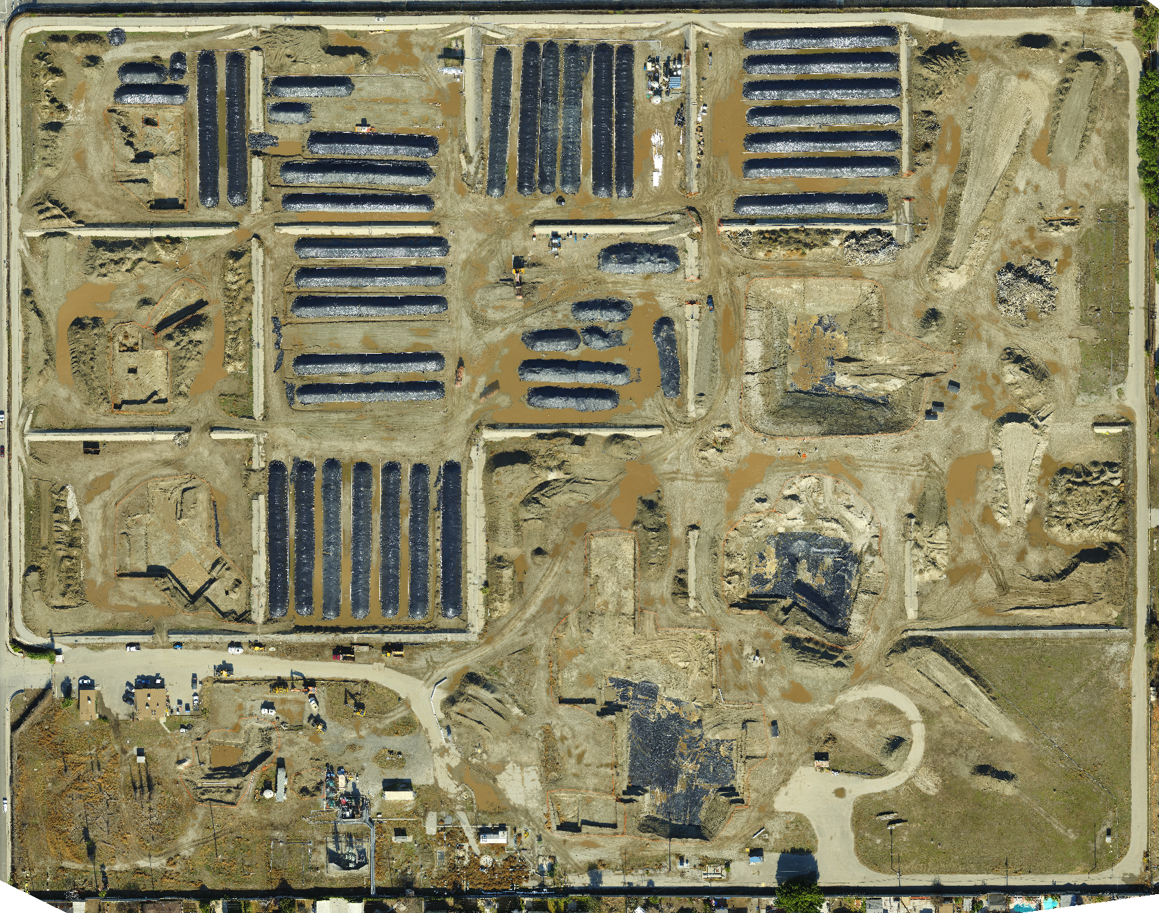
- Norwalk, CA: Monitoring of environmental excavations and stockpiles.

- Malibu, CA: Progress monitoring of a landslide repair.

- Interstate-5 (I-5): Documentation of environmental excavations along the I-5.

- Terminal Island, CA: Monitoring of environmental excavations.

Earth Forensics uses the high resolution images to show:

·         Landslides and slope stability documentation

·         Commercial, industrial and residential site reconnaissance

·         Environmental photography

·         Detention basin monitoring

·         Contamination

·         Fault delineation and mapping

·         Volumetric calculations

·         3D models

Visit aerialforensics.com to learn more about our UAV services or contact us for more information on how our team can help you with your project.

Phone: 714.296.4055
Email: contact@earthforensics.com

Drone project in Armenia

Currently using: DJI Matrice 210

Our Hydrogeologist/UAV pilot, Rene Perez has been in Armenia this week for a mapping project on Mount Aragats, a four-peaked volcanic crater. Despite all the preparations, mother nature had its way yesterday. Clouds rolled in throughout the day limiting visibility which caused the DJI Matrice 210 to stay grounded. Mr. Perez will be making another attempt on Friday. For the meanwhile, here are some images captured on his phone on Mount Aragats and surrounding areas.

Don’t forget to check out our drone website at www.aerialforensics.com to learn more on how we use drones for certain applications and uses.

Surface rupture in Ridgecrest, CA following the 7.1 magnitude earthquake

Ridgecrest, California, roughly 154 miles from the Los Angeles area, experienced powerful earthquakes on July 4th and 5th, 2019. The biggest temblor was recorded on July 5th at a magnitude 7.1. Its epic center was roughly 11 miles from the Ridgecrest area. According to the USGS, Friday’s 7.1 magnitude was felt as far as Mexico and Las Vegas.

Here’s a video captured by our team on July 8, 2019 showing the surface rupture caused by the 7.1 magnitude earthquake. The offset in this area is approximately 1-2 feet vertical and 2-3 feet horizontal.

Landslide and slope repair

Here’s an example of a drone-based monitoring project of a landslide and slope repair in Malibu, CA. This is used to document grading activities versus time. 

Click on the following project image to view an interactive cloud-based timeline on Pix4D platform. Choose to view the image as an orthomosiac or as a 3D model by choosing from the menu on the left side.

Visit our Aerial Forensics website to see other examples of

past monitoring projects (click here).